
UNESCO WORLD GEOPARK OF THE CENTRAL CATALONIA
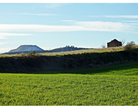
More than 36 million years ago, in the geographical heart of Catalonia, there was a sea that disappeared with the rise of the Pyrenees, therefore, since 2012 we are World Geopark.
The sea of Central Catalonia
Our trip transports us until 42 million years ago, when this territory was covered by a warm sea, similar to the Caribbean (there were palm trees), which here was closed forming a gulf that opened in the direction of the Atlantic, towards the West.
For a few million years, large rivers formed extensive deltas, which correspond, in part, to the reliefs of the current Natural Parks of Montserrat and Sant Llorenç del Munt, while towards the town of Moià, a quieter coastal area, the reefs Coral could be fully developed. In those reefs 38 million years ago is where the Toll Caves have formed, in a process that still lasts today.
When the sea began to withdraw, pushed by the rise of the Pyrenees, more than 36 million years ago, there was an intense evaporation that caused the precipitation of plaster, first (between the towns of Artés and Calders) and then, in the deeper zone (where the towns of Súria and Cardona are now located) salts, such as common salt (halita) and potash (silvita).
Finally the sea disappeared forever being replaced by lakes and rivers, identifiable in today's landscape by the reddish colorations of their rocks.
In this trip in time you will discover impressive caves, wetlands, meanders, lime kilns, the spectacular failures of the Middle World in Súria and that of the "Guix" in Sallent, and all the traditional mining complex of gypsum and salt exploitation in Cardona , as well as the active extraction of potash around Súria with the residual mountains of Sallent and Súria.